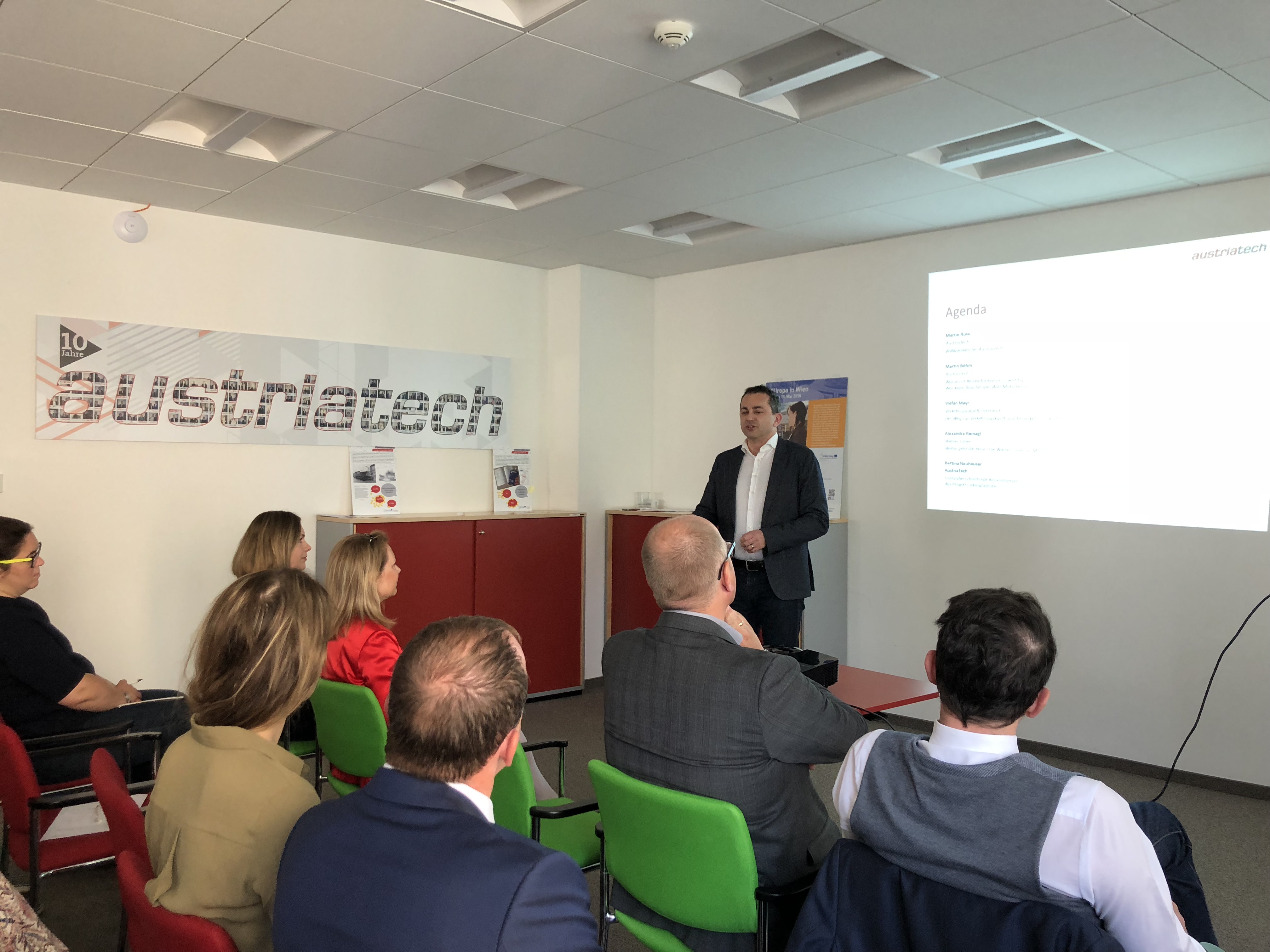
Jun 29, 2018
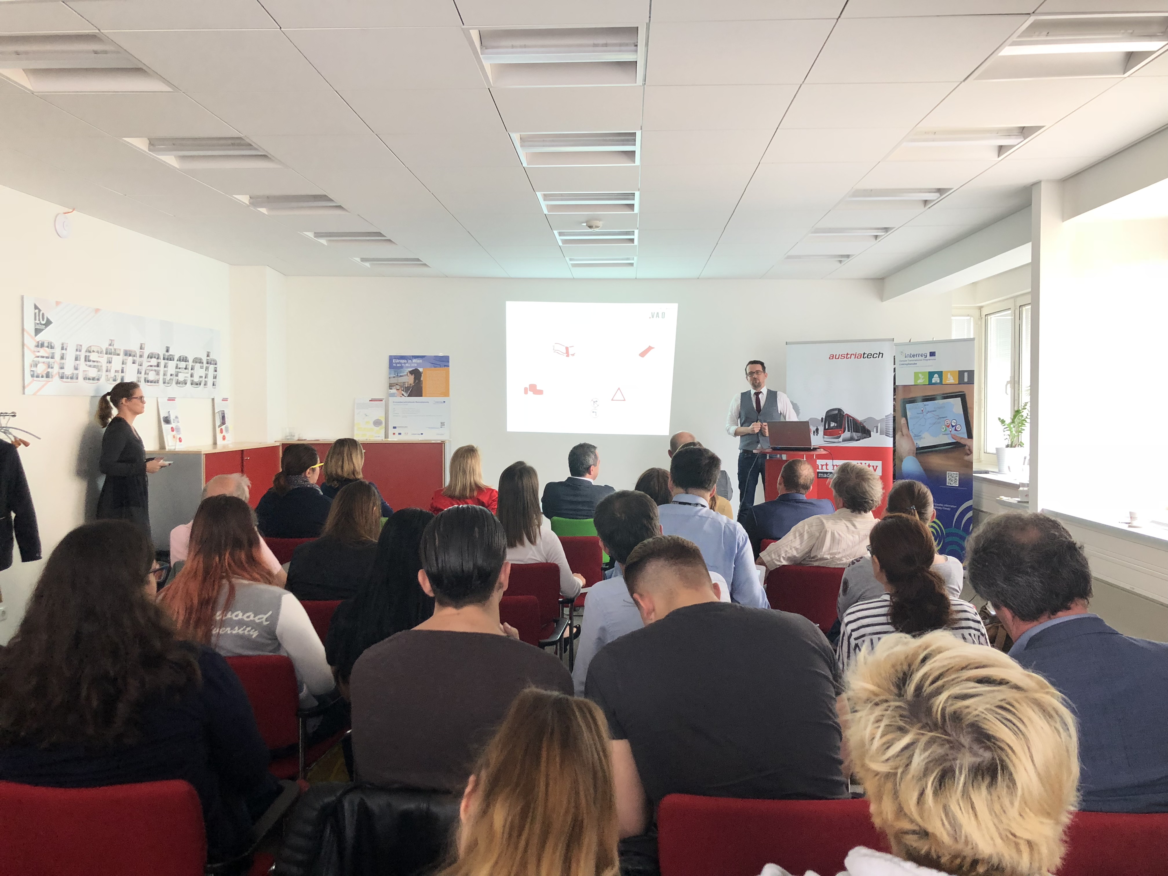
Friday morning, 8:30, Vienna. Like every morning there is hectic activity on the streets, in the subway stations and at the bim stations. Most people who travel here in rush-hour traffic find their destination while they sleep. However, many also need the support of tools and services such as route planners to get to their destination. How do these services work and who is acting in the background? Within the framework of the 4-day event "EUropa in Vienna", AustriaTech took the opportunity on May 18 to answer exactly these questions with the help of the EU project LinkingDanube. Due to AustriaTech's many years of experience in this area and together with Wiener Linien and Verkehrsauskunft Österreich, comprehensive information and current developments on travel information services in and from Austria were presented.
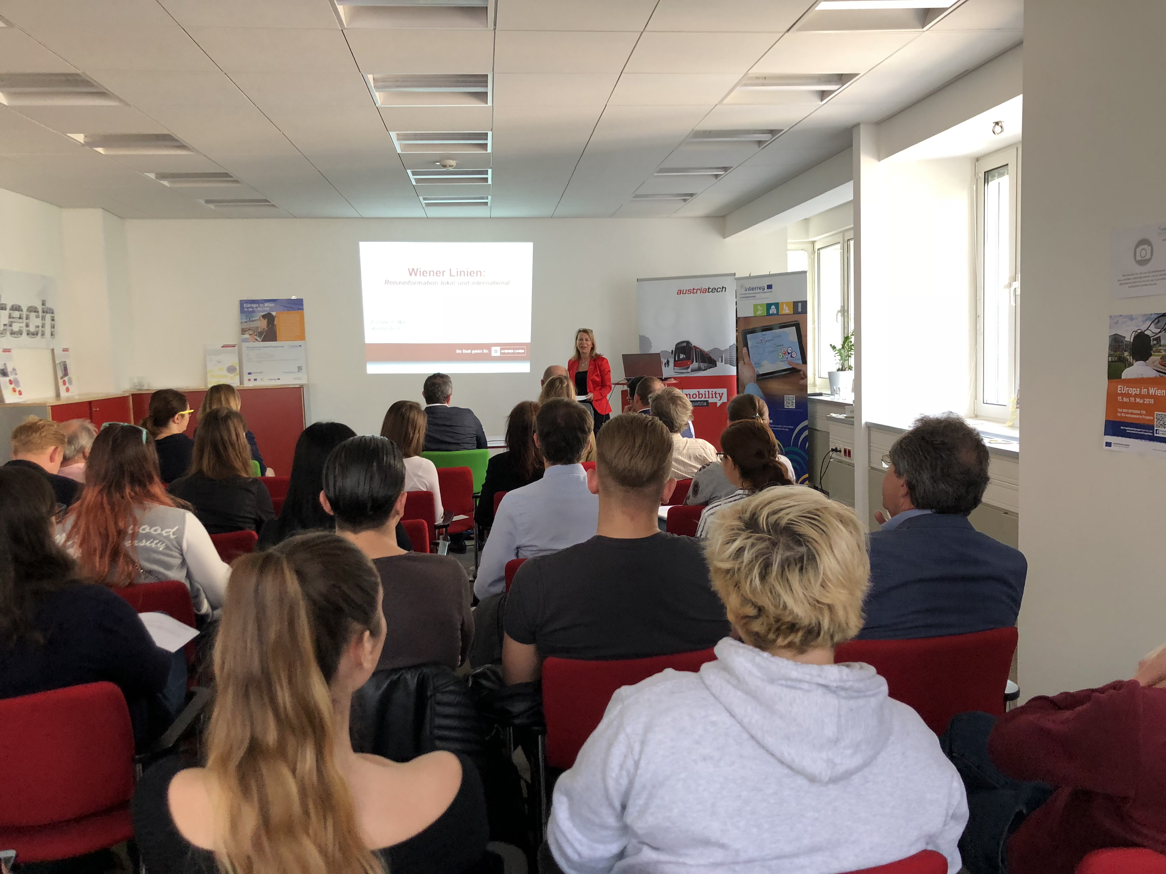
A look into the recent past, a time in which you had to search for your route without mobile Internet access, makes you aware of how much has happened and developed in a few years. While in the 1990s the departure times for each station were still recorded in driver's logbooks, nowadays it is sufficient to enter the destination on a smartphone to find routes. The app "WienMobil" offers this and other services. That is why the Managing Director of Wiener Linien, Alexandra Reinagl, also calls the software "the Swiss pocket knife of mobility". Not only the nearest subway stations are displayed here, but also car and bike sharing as well as taxi stands. The passenger can thus always individually choose the best route according to the situation.
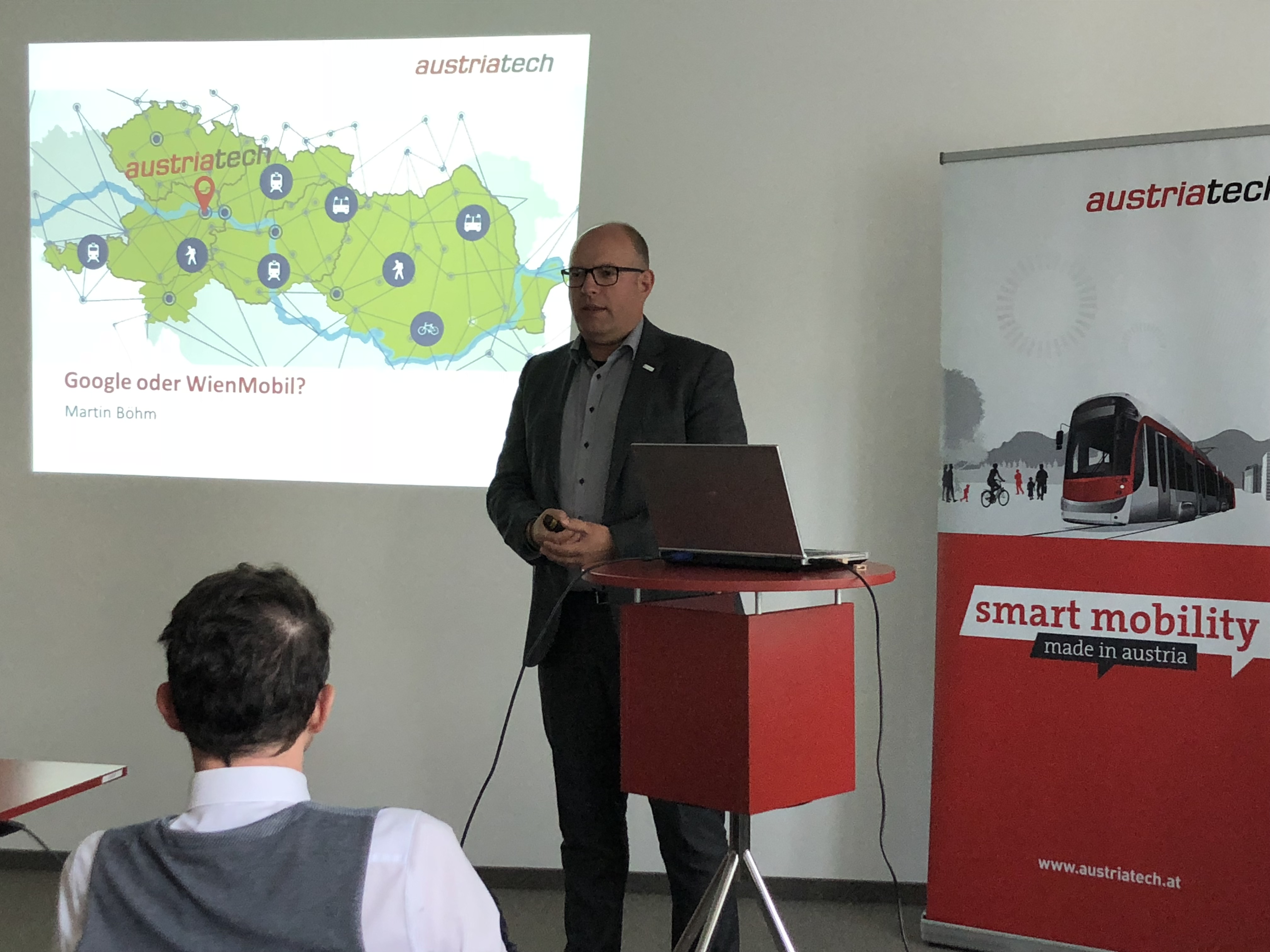
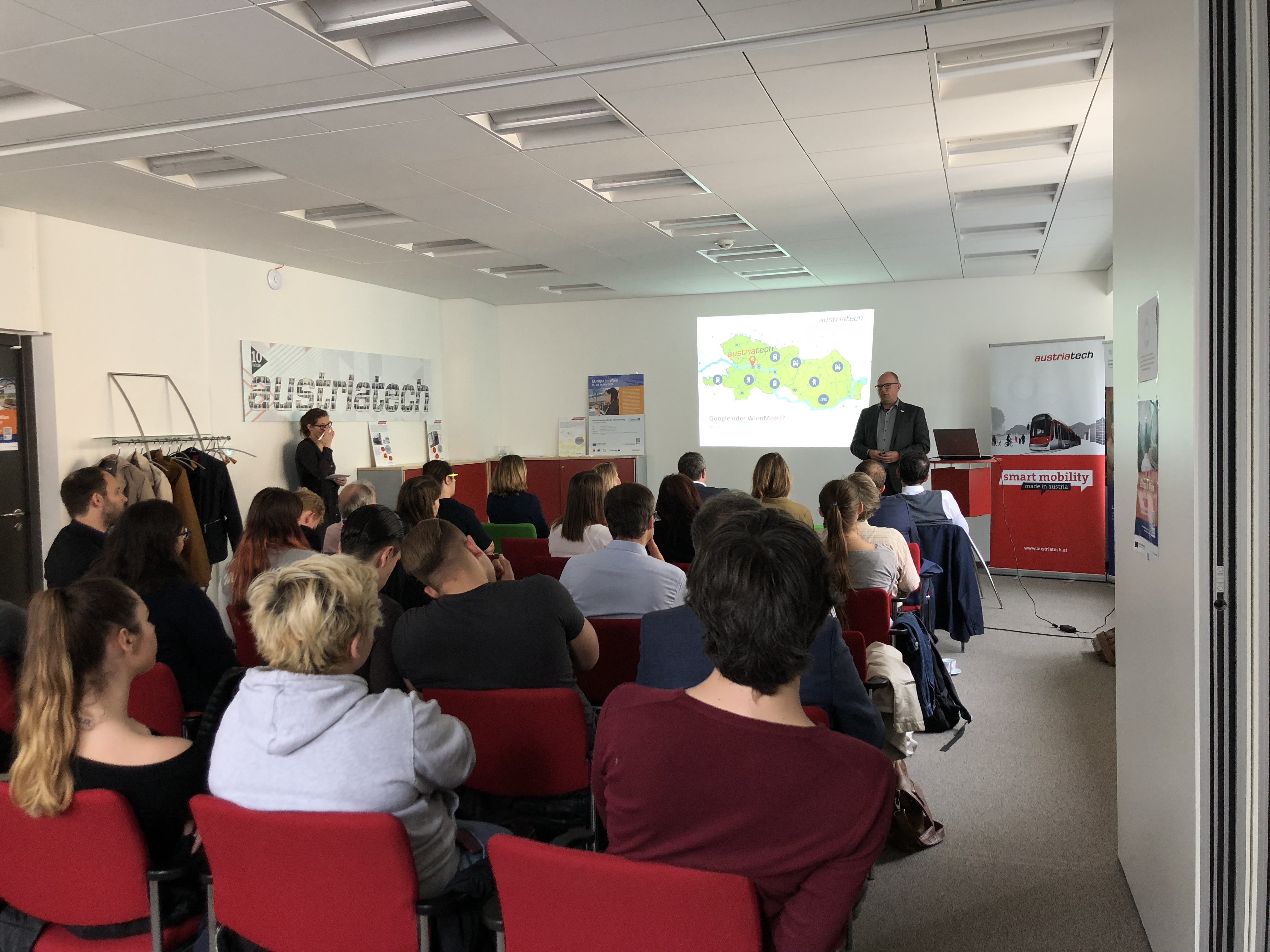
In order to be able to offer a service with travel information at all, a basis in the form of maps and paths must be available. Stefan Mayr, the managing director there, explains that this is exactly the task that is fulfilled by the traffic information service for Austria. The basis is the so-called graph integration platform. It covers all Austrian traffic routes and displays them in a routable network graph. VAO accesses this data and offers its customers a multimodal routing service on which mobile applications in the respective design of the customer can be set up. "Wegfinder", "AnachB" and "WienMobil" are just as much a part of the VAO-based apps as the commuter calculator of the Ministry of Finance.
So how does this business model differ from a global player like Google? After all, real-time data of traffic jams would also be displayed here. "This data is generated by tracking your motion data via smartphone," replies Martin Böhm, Business Unit Manager Mobility Technologies and Services at AustriaTech. The data is only created during the event and is therefore not used to plan the route differently in advance. The VAO, however, already knew the day before whether a construction site was blocking the route of a bus and could offer immediate alternatives.
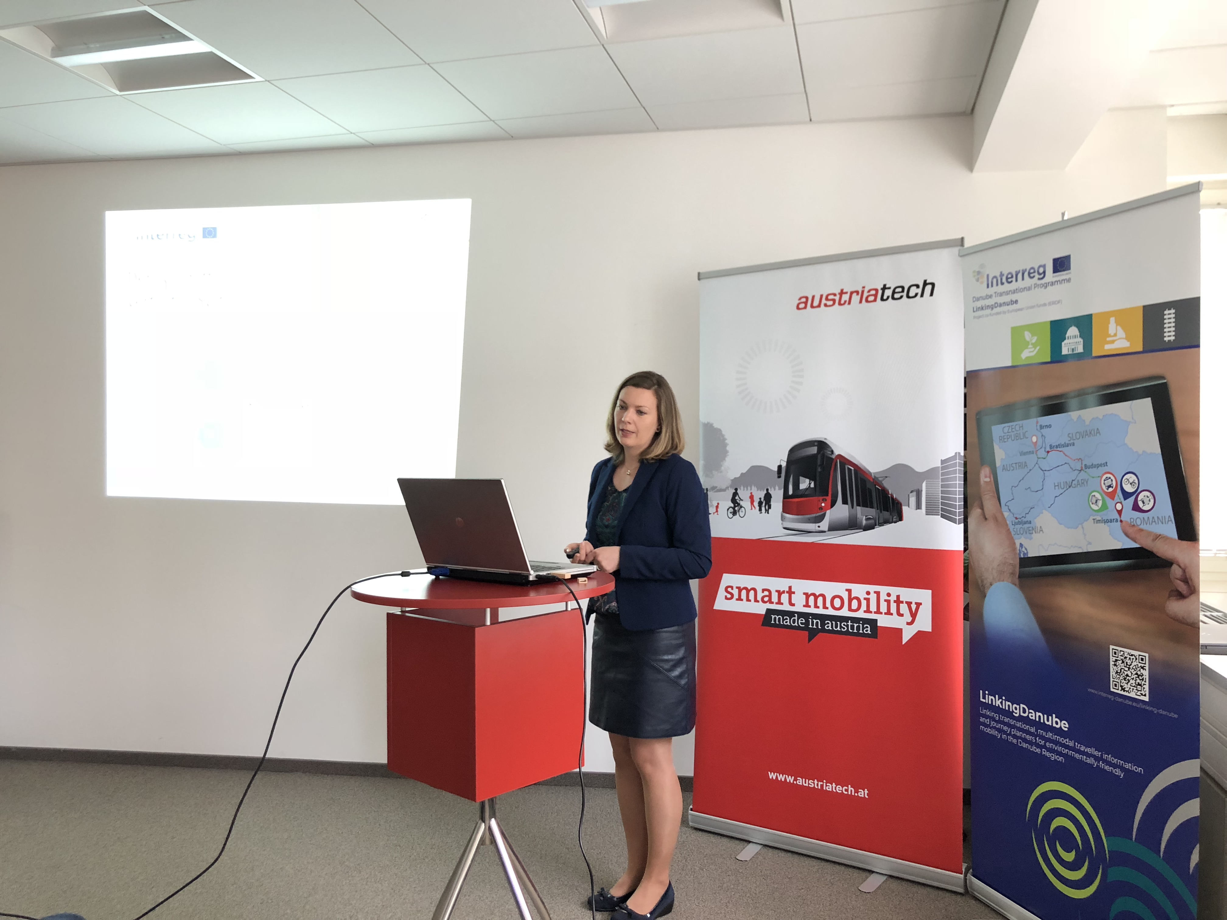
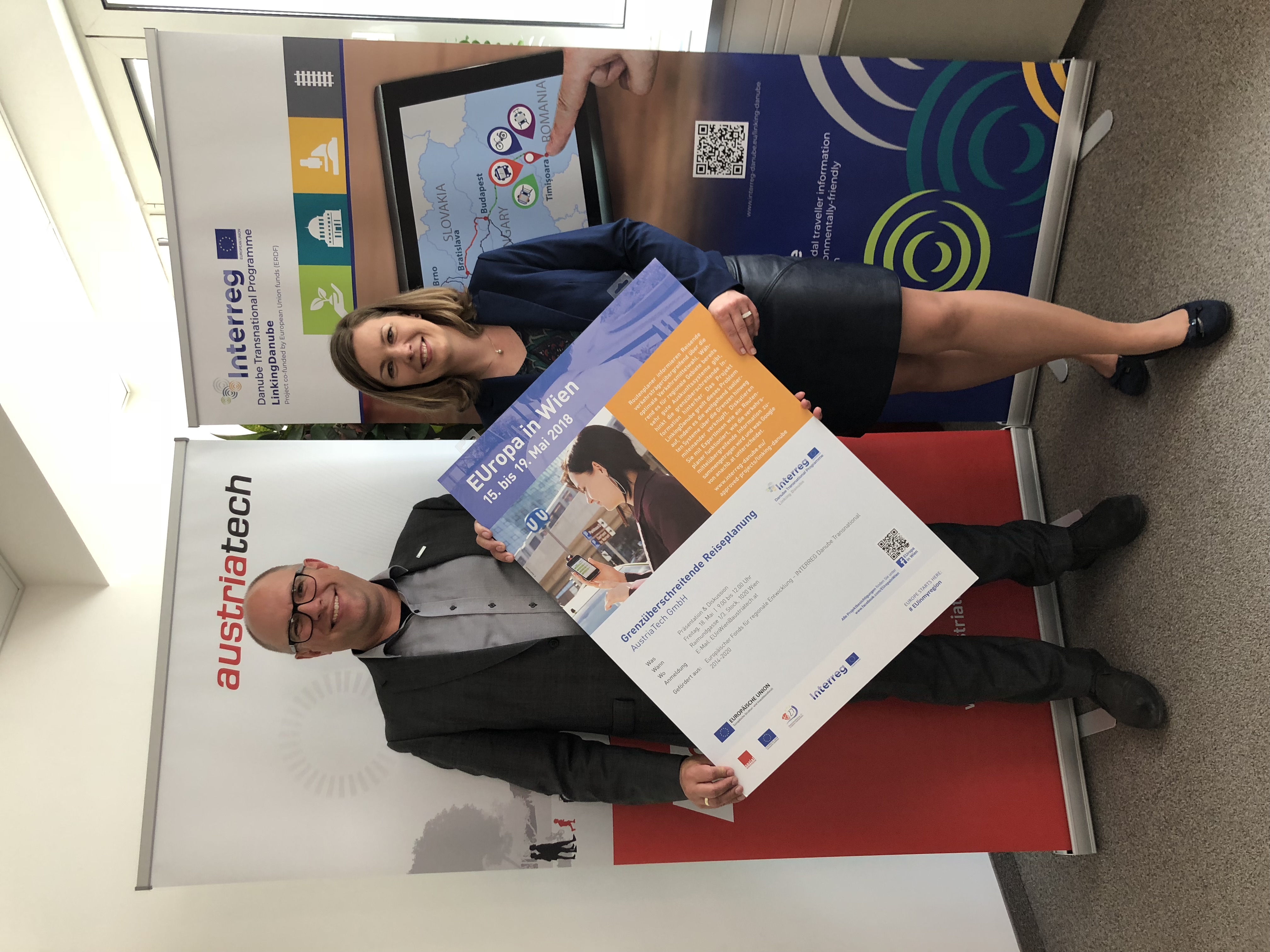
In order to avoid having to search for and download a separate travel app for each country in the future, Bettina Neuhäuser is working as project coordinator in the LinkingDanube project on developing a service that links a wide range of travel information services across borders. The project covers the Czech Republic, Slovakia, Hungary, Romania, Slovenia and Austria. "You have to think of our system as a waiter serving food from ten different restaurants at the same time. From the menu I can now put together a meal for myself as a guest that offers a Romanian starter, a Hungarian main course and at the end an Austrian apricot dumpling. The waiter then ratters all these kitchens according to our wishes and compiles the menu reliably," explains Neuhäuser pictorially. This means that the company is well on the way to being able to offer a comprehensive concept in the Danube region in the near future.
This cross-border cooperation makes the INTERREG Danube Region Programme possible. INTERREG stands for "European territorial cooperation" and is part of the European Union's structural and investment policy. For more than 20 years, it has been supporting cross-border cooperation between regions and cities that influence daily life, as here in LinkingDanube in the field of transport.